Fact Check: Is image claiming Iran destroyed US' largest radar in Qatar real?
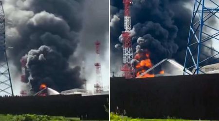
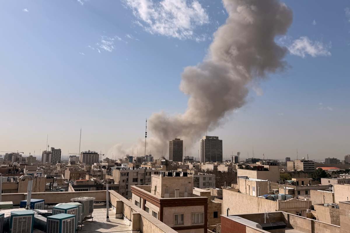
WASHINGTON, DC: Iran recently launched retaliatory attacks on the United States' targets in multiple Middle East countries amid a war triggered by US-Israeli strikes on Tehran.
Following this, a rumor circulated online claiming that the viral image is of a US radar destroyed by Iran in Qatar. But is there any truth to this? Let us find out below.
Claim: Image shows US radar destroyed by Iran in Qatar
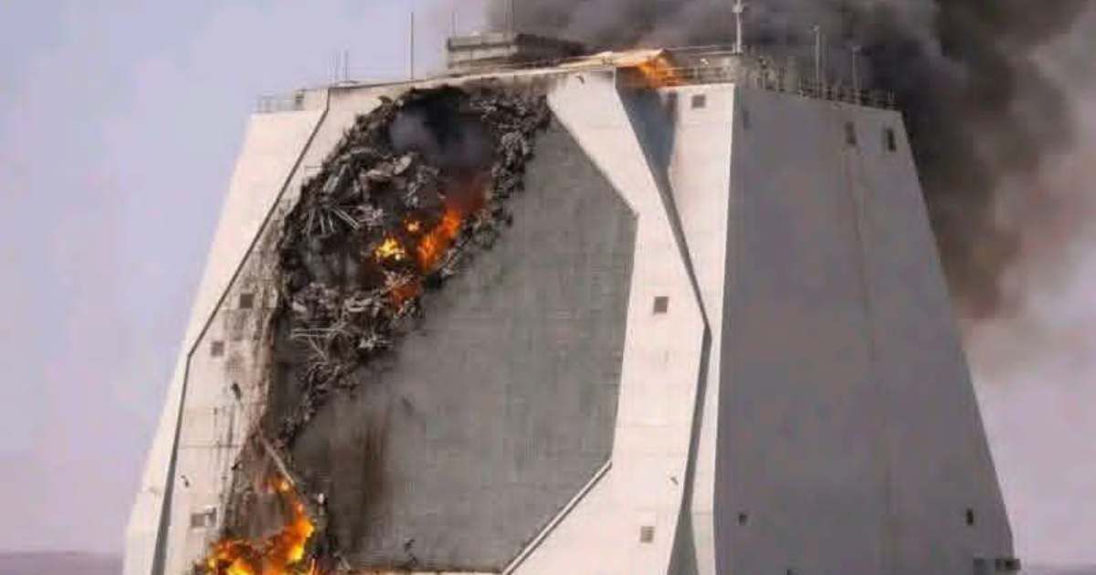
A March 3 Facebook post shared an image of a structure in the desert on fire, and mentioned, "This is the largest American radar in the Gulf. It was monitoring the entire Middle East... and it was bombed!"
Similar posts went viral on Facebook, Instagram, and X, alleging that the picture showed the impact of an Iranian strike at the Al-Udeid Air Base in Qatar.
Another Facebook post read, "Reports indicate that a major US early-warning radar installation in the Gulf region has been bombed. The system, described as one of the largest American radar platforms in the area, was reportedly valued at approximately $1.1 billion and capable of detecting aerial and missile threats at distances of up to 5,000 kilometers."
"Such radar systems play a critical role in regional defense operations, providing long-range surveillance and early threat detection across large parts of the Middle East. Military analysts note that disrupting an installation of this scale could impact monitoring capabilities and alter strategic calculations in an already tense environment," the post added.
Moreover, some social media accounts claimed the image depicted damage to an AN/FPS-132 radar installation monitoring missiles outside Doha.
Fact Check: False, the viral image is AI-generated
The claims in the online posts are false, as the viral image was generated using AI tools. The image also includes several irregularities that are typical of images created using Artificial Intelligence tools.
In the viral image, no debris from the supposed missile strike is seen on the ground below. The smoke is billowing from behind the radar rather than from the damaged areas in the front.
Furthermore, examination of illustrations released by the US Air Force reveals inconsistencies between the real AN/FPS-132 radar installation and the AI depiction online.
The Air Force image shows circular shapes on the larger faces of the structure, which are connected by blank triangle faces, whereas the AI-generated image has sides in the shape of octagons and trapezoids.
Meanwhile, Google Maps satellite imagery shows a radar facility located roughly 59 miles north of Al-Udeid Air Base, indicating the installation is separate from the military base itself.