Fact Check: Does a satellite image show burning oil fields in Qatar’s Persian Gulf?
WASHINGTON, DC: As the Iran war involving the US and Israel heats up, satellite images have become a new battlefield. Fake or AI-made images are making it hard to know what’s really happening on the ground. A viral claim says Qatar’s huge oil fields are on fire, showing a satellite image as proof. But is that image real? Let’s check the facts.
BREAKING: QATAR’S LARGE OIL FIELDS ARE CURRENTLY ABLAZE pic.twitter.com/DARgK3Bxmk
— Sulaiman Ahmed (@ShaykhSulaiman) March 18, 2026
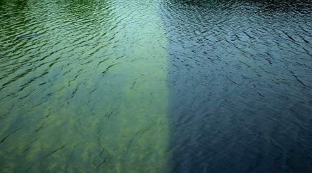
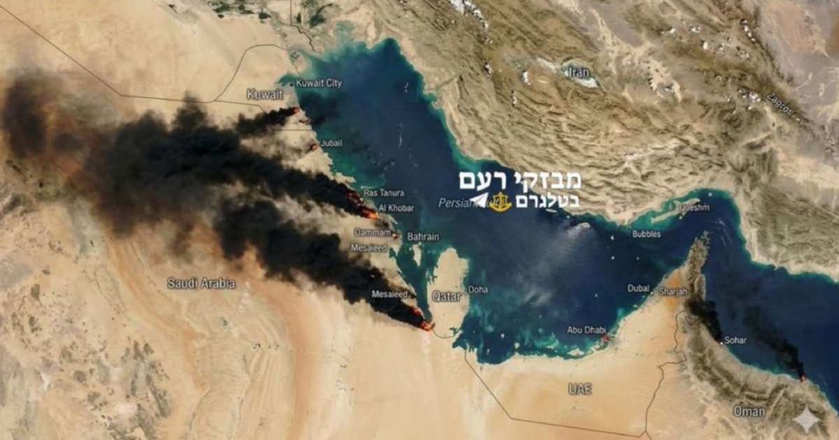
Claim: A satellite image of Persian Gulf shows oil fields burning in Qatar
Amid rising tensions between Israel and Iran, a social media post on March 19 caught widespread attention.
A user named Sualiman Ahmed shared what appeared to be a satellite image of the Persian Gulf, claiming it showed Qatar’s oil fields on fire. The post carried a striking caption: "Breaking: Qatar's large oil fields are currently ablaze." The post quickly went viral, garnering over 349,000 views in just a few days, along with numerous comments questioning its authenticity.
Reactions ranged from concern about the impact on global oil prices, "Bro, this is not looking good for global oil prices", to hope the situation was under control, "Praying the fire is controlled quickly."
Bro, this is not looking good for global oil prices.
— Macro Bombastic (@MacroBombastic) March 18, 2026
Others expressed skepticism, saying things like, "Try drawing the black smoke where you say it is," while some criticized regional targeting, asking, "Why doesn’t Iran hit Israeli refineries or desalination plants? They always target GCC countries in response to Israeli escalation."
Why Iran don’t hit Israeli refineries, why don’t they hit Israeli desalination plants because they can’t. Always target the GCC countries in response to Israeli escalation.
— She_talks_everything (@DistantFocus_) March 18, 2026
Fact Check: Satellite image showing burning oil fields is fake
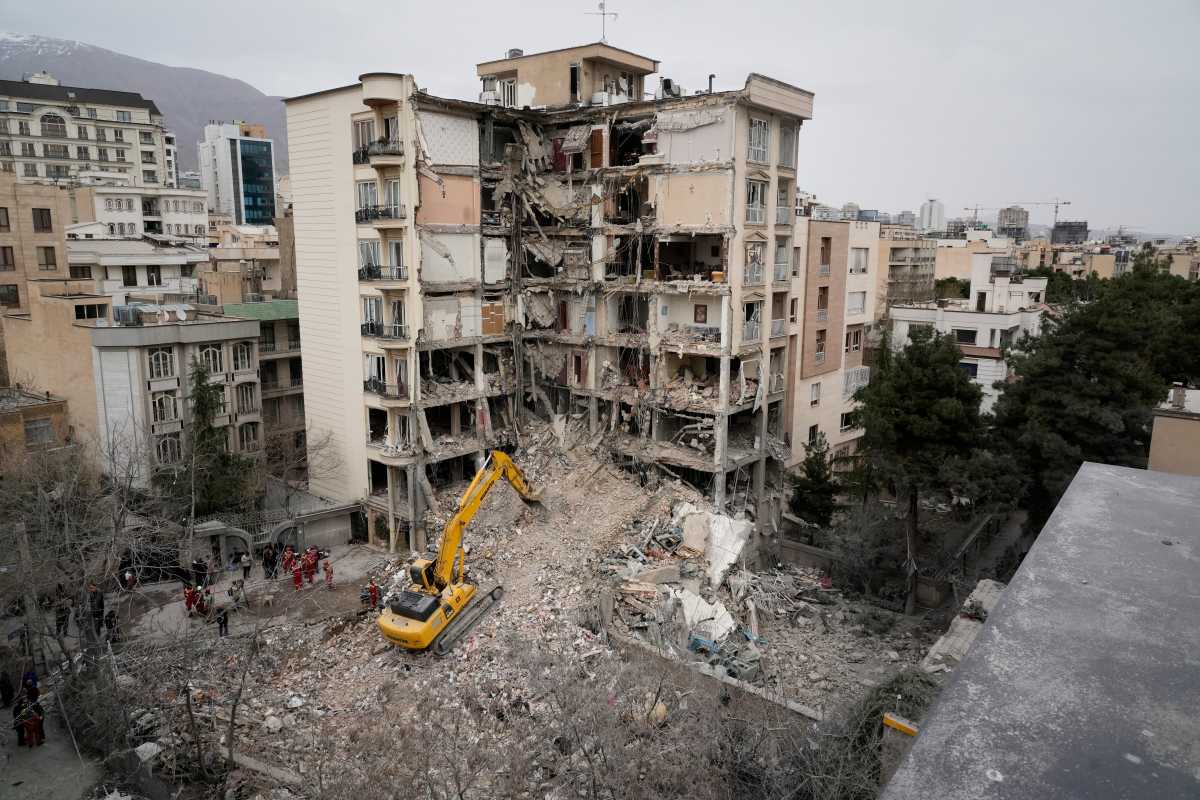
A social media post claiming to show burning oil fields in Qatar is fake. While Iran did target Qatar’s Liquefied Natural Gas (LNG) facilities with missiles, this image does not capture the aftermath. It can be identified as AI-generated, Gemini’s watermark appears in the lower-right corner. An X user pointed out the Gemini symbol by sharing the zoomed-in screenshot and said, "You are not even trying anymore." Another user declared, "fake AI photo"
The image tries to mimic real satellite photos, showing varied landscapes, vegetation, and water, but the fire and smoke are unrealistic for that scale from orbit.
A reverse image search shows multiple recent reposts, suggesting the image was created by layering AI-generated flames onto a real satellite base. AI-detection tool ImageWhisperer also flagged it as likely AI-generated with 73% confidence.
Amid the rise of fake images, Symeon Papadopoulos, an AI researcher at the Greek research institute CERTH who specializes in media verification, told DW, “For satellite images, we can safely say that the majority of people have very limited familiarity. That makes them particularly prone to being misused, because if you change a small detail in a satellite image, most likely nobody will notice."
Brady Africk, an open-source intelligence (OSINT) analyst, added, “It seems like this problem is getting worse.”
This article contains remarks made on the Internet by individual people and organizations. MEAWW cannot confirm them independently and does not support claims or opinions being made online.